 Trail "Ober" of Herz-Ass Villgratental
From Innervillgraten to Reiterstube at Winkeltal (Außervillgraten)
Walking time about 4 hours - moderate hike
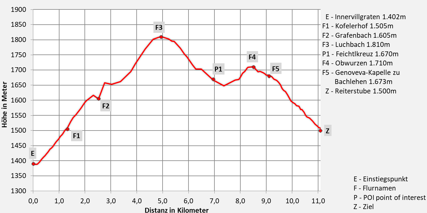
- 11,1km walking distance
- 510 ascent altitude
- 1130 descent altitude
- lowest point: 1.402m - Innervillgraten (Start)
- highest point: 1.810m - Luchbach

Oberweg of Herz-Ass Villgratental - Hiking trail across Ahornberg and Versellerberg way Nr. 30
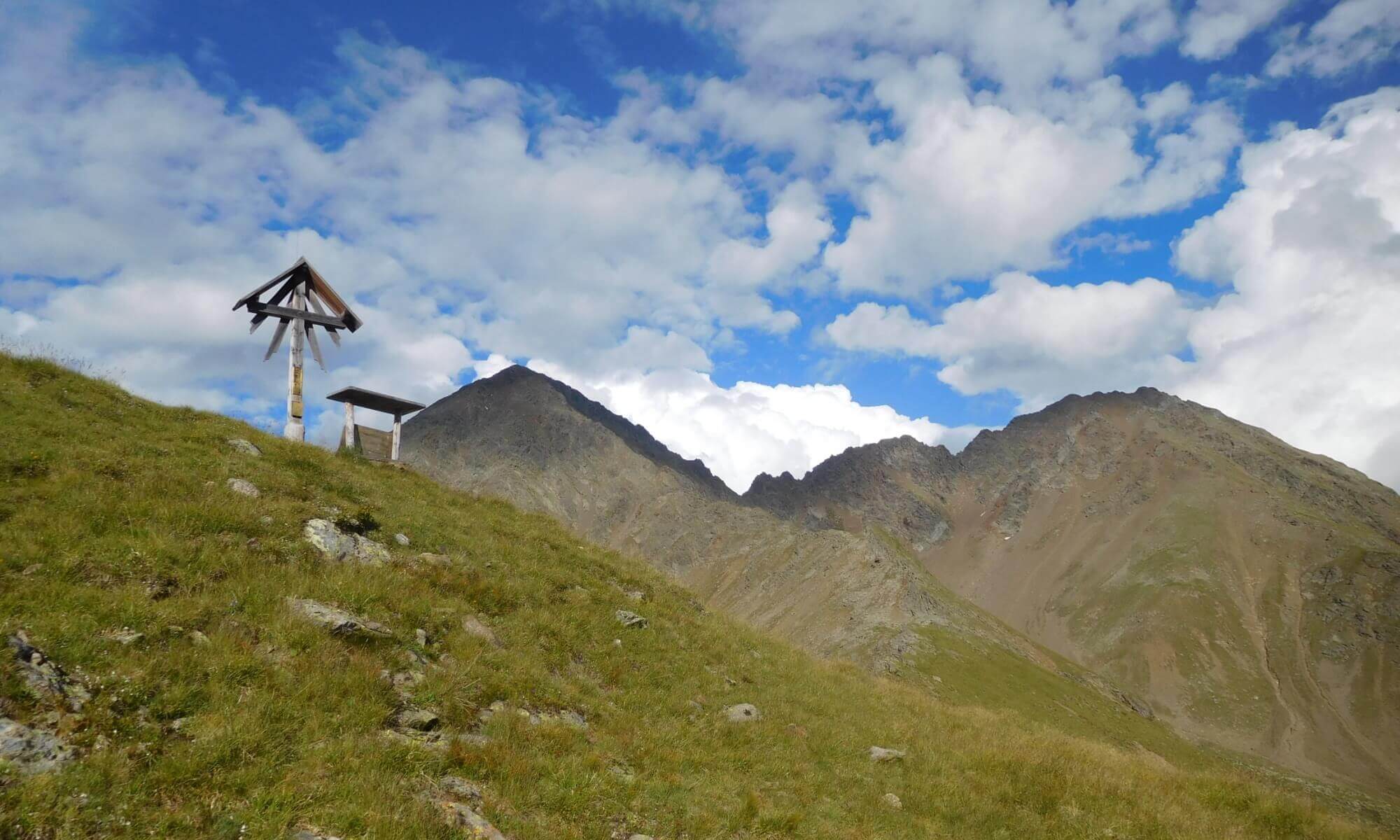
From the center of Innervillgraten 1.402m (car park) past the Gasthaus Raiffeisen over the Einetbach bridge, then along the paved road to the first junction, here up to the Kofelerhof 1.505m. From there on the forest path of the Ahornberg to Grafenbach 1.630m. Now a short stretch on a narrow forest path, then again on a forest path, past beautiful meadows and then up to the highest point of the hike when crossing the Luchbach 1.820m. From here down to the Feichtlkreuz 1.680m, then flat over the Versellerberg to the asphalt road. Here again uphill and past Oberwurzen 1.710m and the Genoveva chapel to Bachlehen 1.673m. Finally down into the Winkeltal to the Reiterstube 1.500m in Auservillgraten.
The special thing about this trail are the beautiful viewpoints of the two towns of Innervillgraten and Außenervillgraten. The route can also be walked in the opposite direction from Reiterstube.
Contact details Reiterstube:
Phone: +43 (0)4843 / 5188
Email: This email address is being protected from spambots. You need JavaScript enabled to view it.
Internet: www.reiterstube.at
Kontaktdaten Gasthaus Raiffeisen:
Phone: +43 4843 5318
Email: This email address is being protected from spambots. You need JavaScript enabled to view it.
Internet: www.gh-raiffeisen.com


