 Stage 1: Almenweg to Herrgottslärche
From Ausservillgraten to the Reiterstube
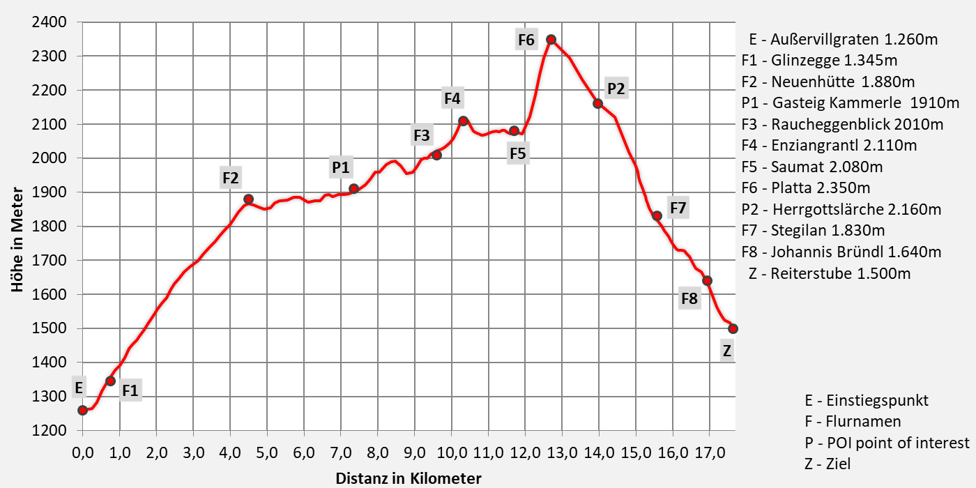
Walking time 8 hours - moderate hike
- 17,7km walking distance
- 1260 ascent altitude
- 1030 descent altitude
- lowest point: 1260m - Außervillgraten (Start)
- highest point: 2350m - Turn to Sommerwand-Köpfl
Over 9 alpine pastures to lofty heights
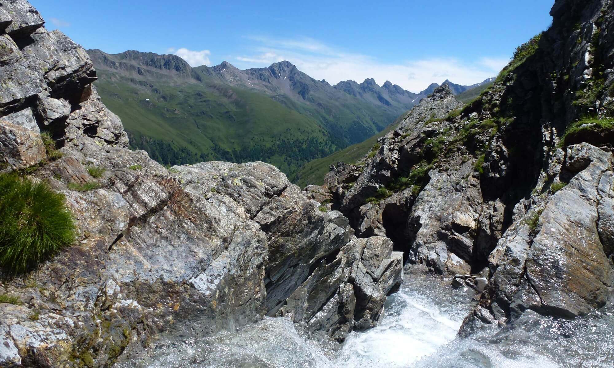
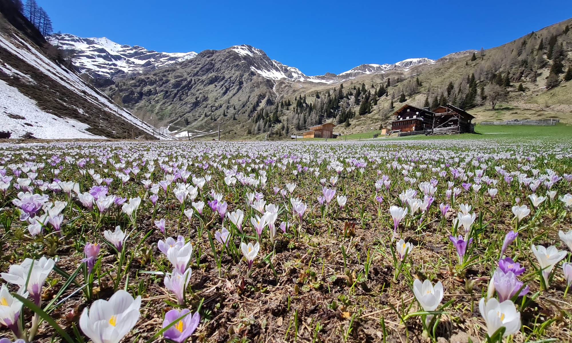
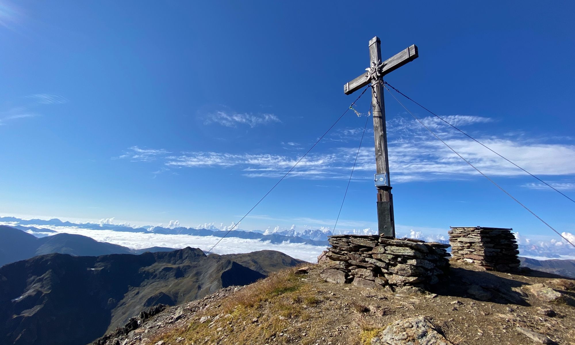
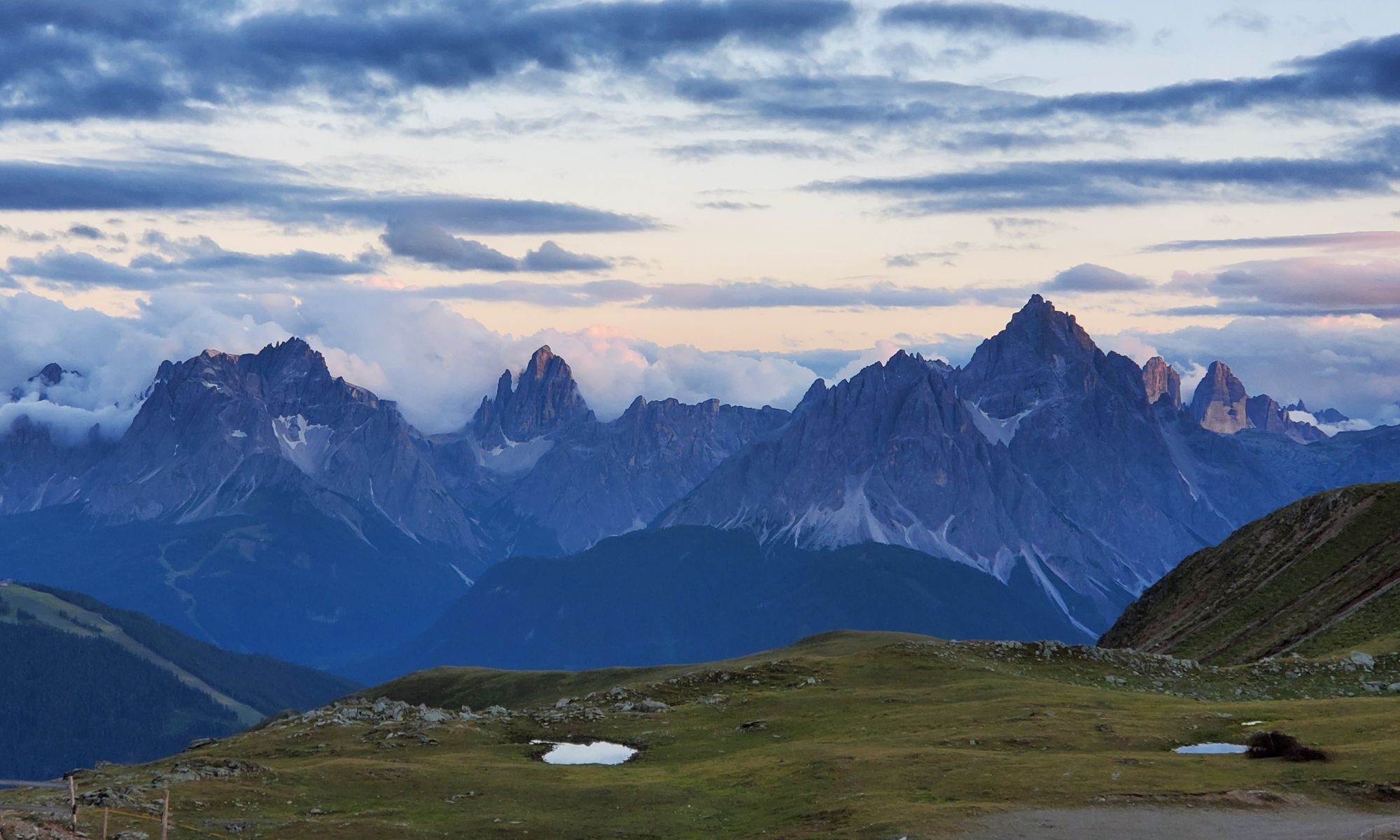
We make it like the great role models of the first ascents and inventors of the Her-Ass Villgratental and climb up the mountain from the village of Ausservillgraten to the ridges of the Tessenberger Alm. The path leads through the battle zone of the high alpine vegetation, past dark spruce and light larch forests, Alpine rose meadows over nine pastures into the Winkeltal. The route connects four mountain peaks with a limitless view over the garden of the giants of East Tyrol, far to Carinthia to Lake Weissensee and into Styria. Below us, the sparsely populated Winkeltal winds up to Volkzein, our hiking destination on the second stage.
Directions
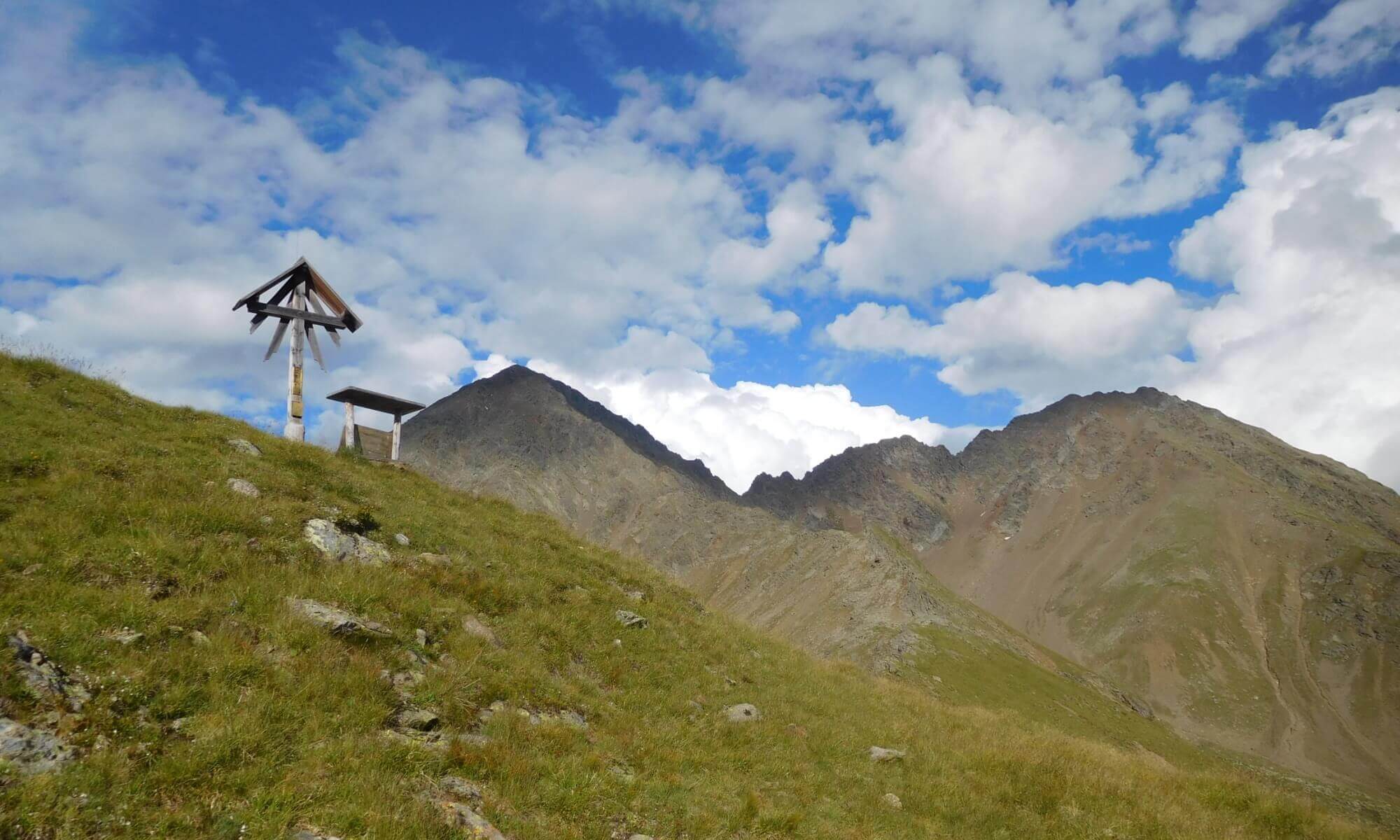
From the village of Ausservillgraten, the path leads across the "Glinzbrücke" on path 7 (forest path) in a northeasterly direction through dense spruce forest in a few bends to the "Alten Hütte" (1.740m). We continue on path 7a (forest path) through lighter larch forest to the "Rautalm" (1,882m) and on a very beautiful path to the "Schupfalm" (1,910m). On path 14b through species-rich flower meadows to the "Wurzalm" (2,001m). From here you have a wonderful view of the valley to Ausservillgraten and the surrounding mountains. From the Wurzalm the path leads slightly down into the Raucheggenbach. From there, a path leads along the tree line, through alpine roses and dwarf larches, over the Enziangrantl to the Kropfkaralm, on which there is a small shepherd's hut, and hike up to the Tilliachalm. This is where the hiking loop to the Sommerwandalm and Herrgottslärche begins. Follow the signs towards Gölbner and Sommerwand-Köpfl and climb up to a height of 2,350m. Now turn left and descend the path to the "Herrgottslärche", this place is also a place of energy. Past the Herrgottslärche it goes to the Sommerwandalm and there descent to the Tilliachalm (2,030m). Descent to Reitersube possible here via forest path or climb. In front of the Reiterstube (1,500m) there is the "Alm-Kneipp-Path Winkeltal" on the right side.
Trump card variant:
- additional climb to Sommerwand-Köpfl auf 2500m
- moderate mountain tour - 9 hours walking time
- 18,9km walking distance
- 1410 ascent altitude
- 1170 descent altitude
- lowest point: 1260m - Außervillgraten (Start)
- highest point: 2500m - Sommerwand-Köpfl
Contact details snack station Reiterstube:
no overnight accommodation
Phone: +43 (0)4843 / 5188
Email: This email address is being protected from spambots. You need JavaScript enabled to view it.
Internet: www.reiterstube.at


